An interactive map of public land records
An interactive, searchable land-data platform for Sahmakum Teang Tnaut, built with Transparency International on USAID funding.
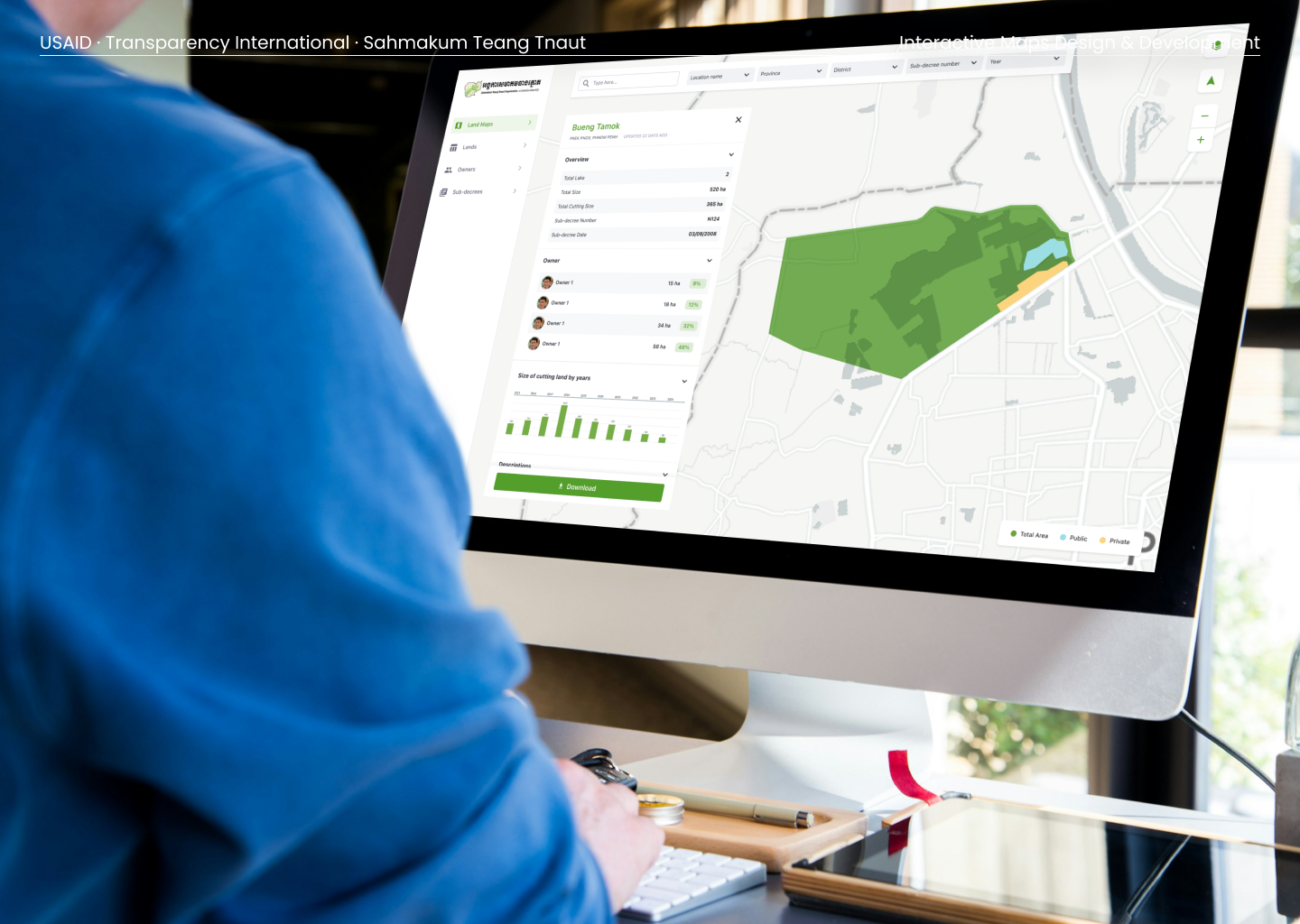
Sahmakum Teang Tnaut had been tracking changes to public land in Cambodia for a while: when plots changed hands, when they were sold, when public land concessions were granted. They already had a rough prototype database on their website. What they wanted was a proper public tool, so that anyone could go in and see what was happening to public land, who owned what, and how it had changed over time.
The data existed. It just wasn't something a regular person could search, see on a map and understand. That was the work.
Research before pixels
We didn't start by designing screens. We started by figuring out who this tool was for and what they actually needed to find. Our designer ran a series of workshops, user interviews and design iterations to work out what, of everything Sahmakum Teang Tnaut tracked, a user needed to see first, second and third. That ordering set the priorities for the whole build.
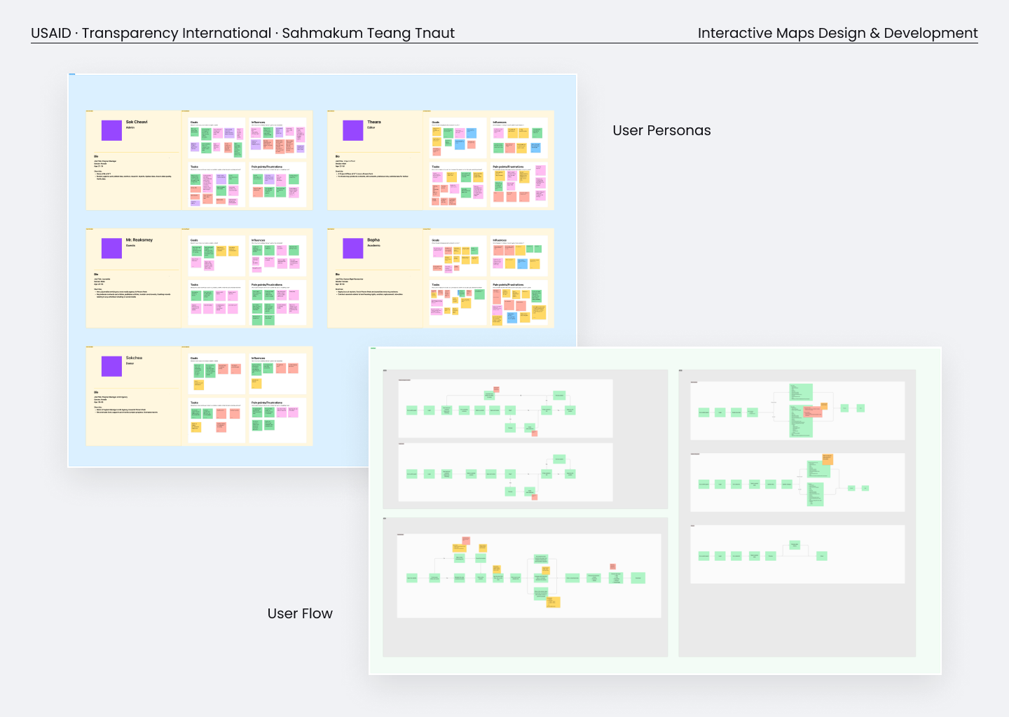 Personas and user flows from the workshops: an admin, an editor, a researcher, a donor. We mapped who would use the tool before we designed a single screen.
Out of that came the wireframes, then the screens for the searches and filters, and the design system that held it all together.
What we built
Once the design was approved, we went into development on Liferay and did a lot of custom work on the mapping, the search and the filters. The result is a database a person can actually use: search public land by location, province, district, sub-decree or year, click a parcel on the map, and see its size, its owners, the relevant sub-decree and how the land had changed across the years.
A public land parcel in the platform: its size, ownership, sub-decree and how it changed over time, right on the map.
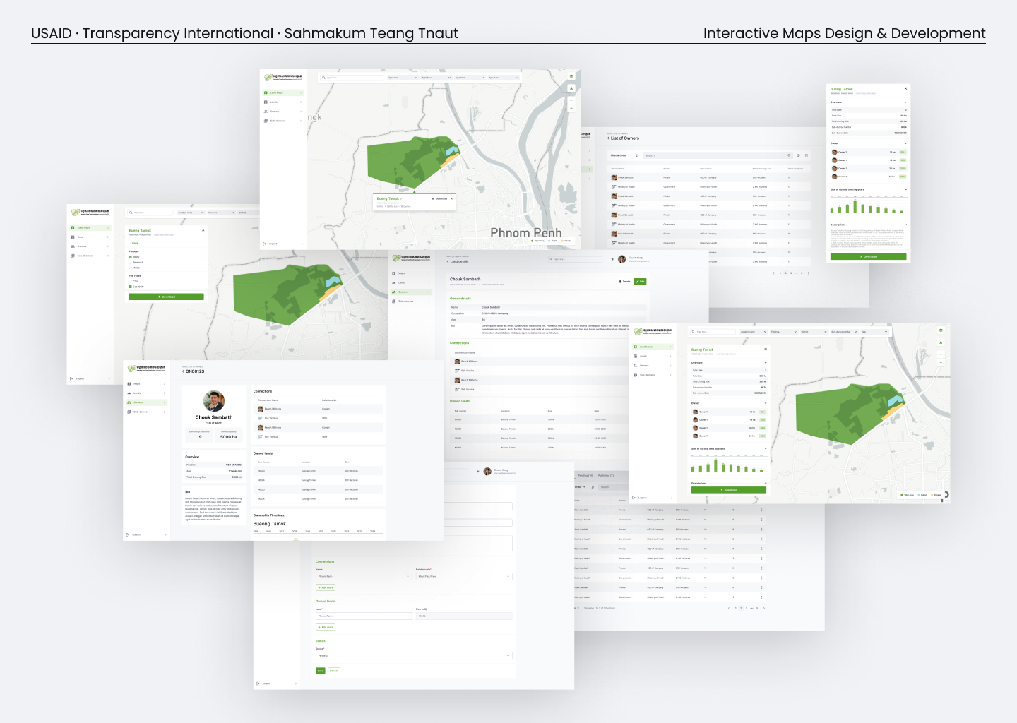 The finished platform: parcels, owners, sub-decrees and land details, all searchable and filterable.
The data had been there all along. Now a citizen, a researcher or a journalist could open a map and read it for themselves.
Working on something like this?
Research, design or a good question. All welcome.